Land & Forest
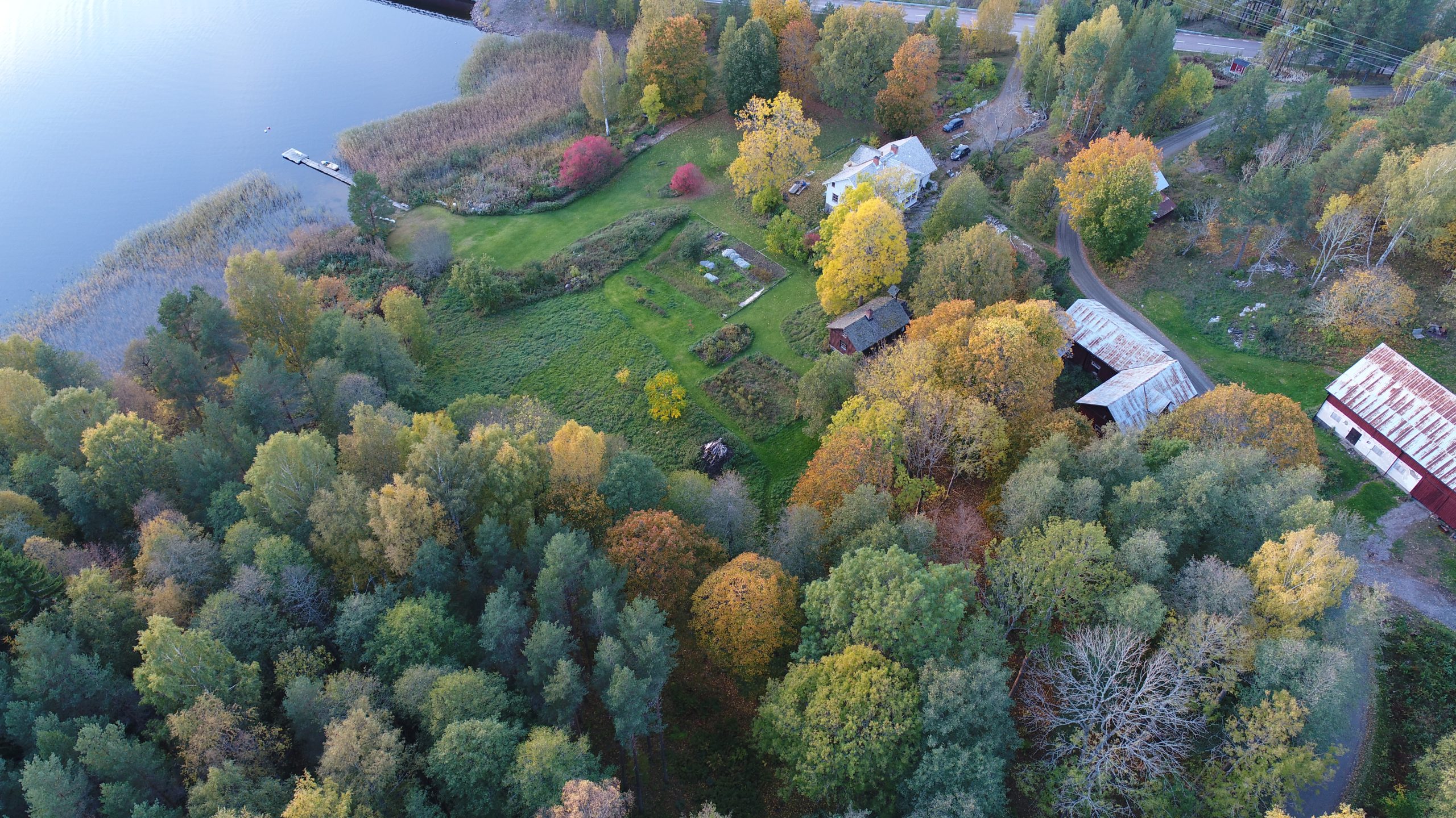
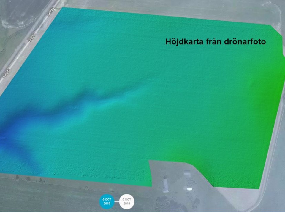
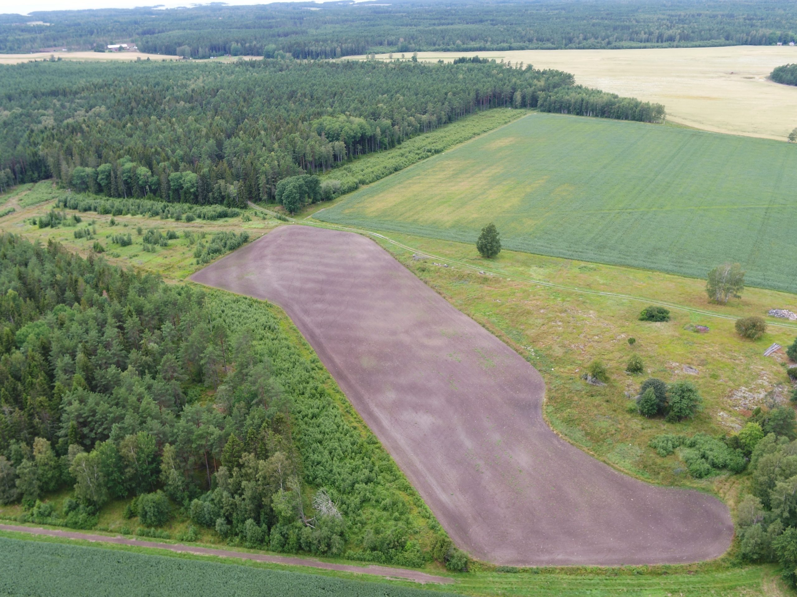
We work with carrying out assignments for agricultural and forestry companies or contractors for underdrain and surveying services. As equipment for this, we have GNSS-RTK precision GPS and drones with multispectral sensor. This allows us to weigh heights before drainage or measure boundaries and take pictures of crops and forests at different stages and for different analyzes. For image processing, we collaborate with Solvi AB ( www.solvi.ag ).

Drone services
- Altitude measurement
- Plan count
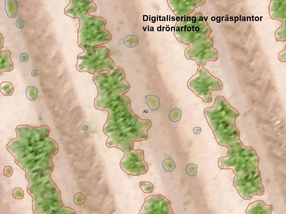
- Digitization weeds
- Field photography
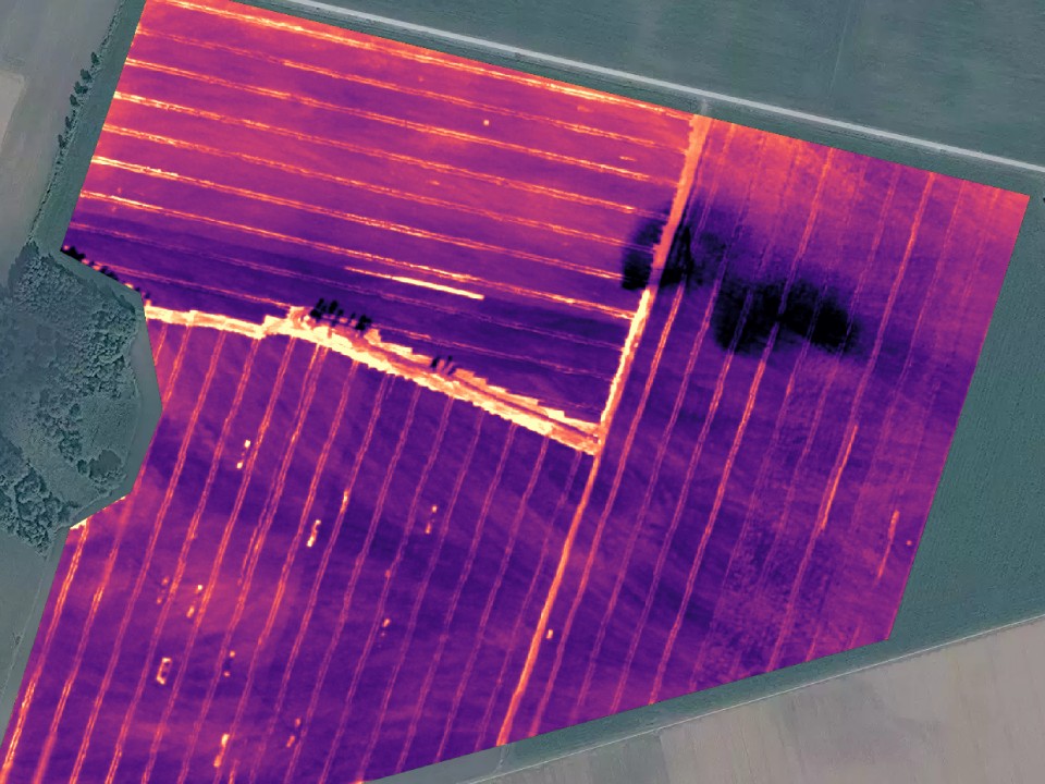
- Thermographic photography
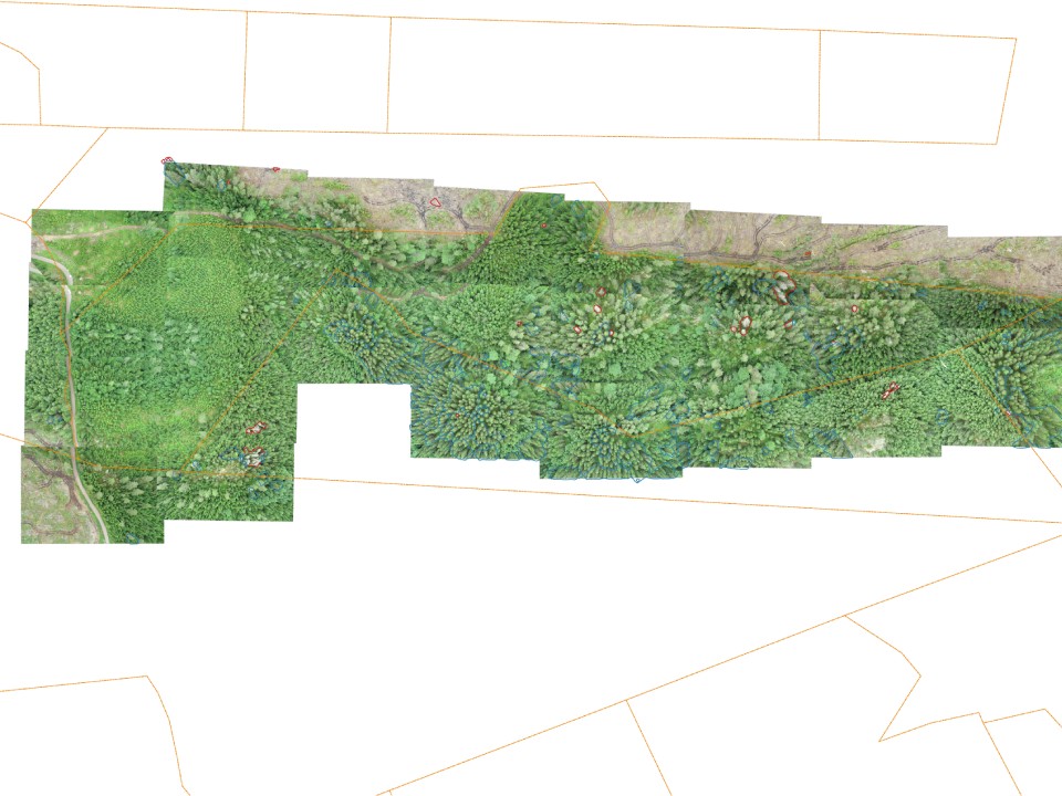
- Bark borer analysis
- Game damage calculations
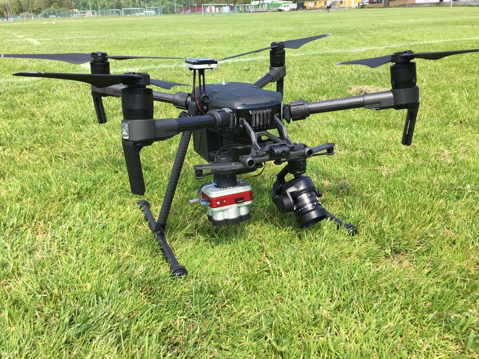
The latest addition is a DJI Matrix 210 with two sensors. There is room for two cameras on the drone and on one mount is a MicaSense Altum with six different sensors (R, G, B, RedEdge, NIR and IR). On the other mount is an RGB camera DJI Xenmuse X5S.
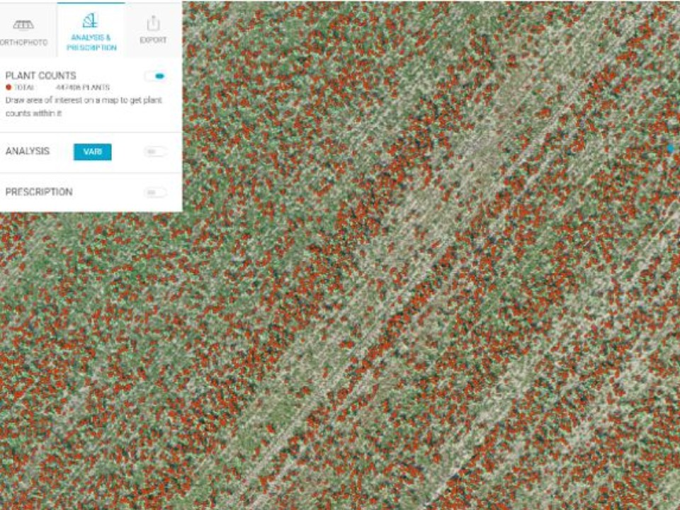
Plan count
With the help of drone images and finishing, individual plants of agricultural, garden crops or forest plants can be identified and counted.
With high-resolution drone images, weeds can be measured in and the size and distribution can be calculated.
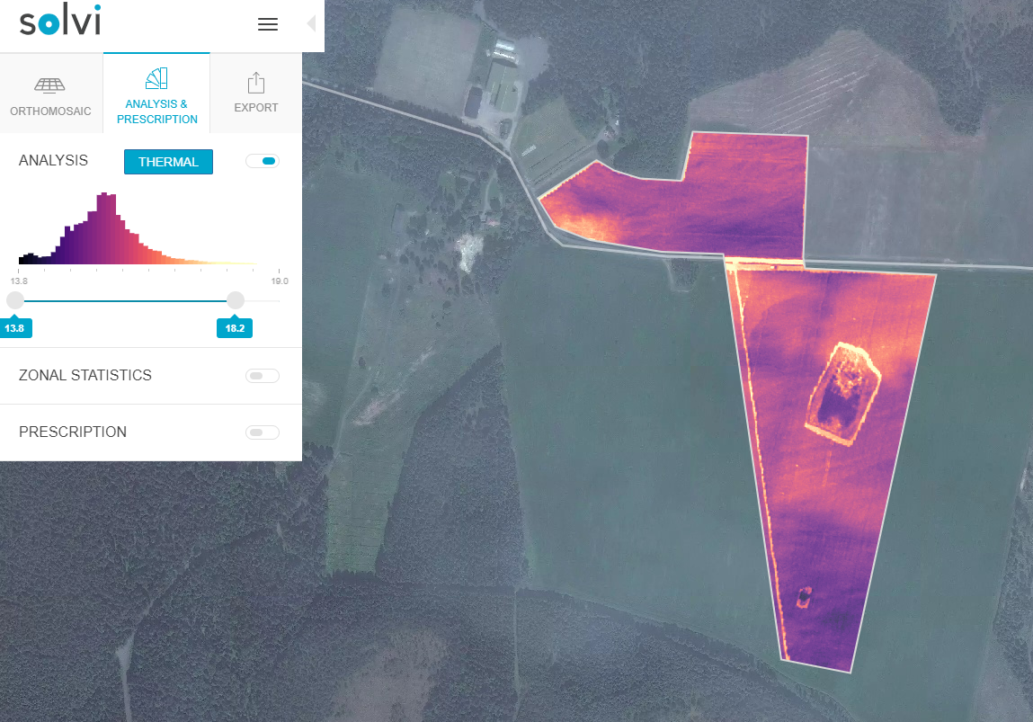
With our multispectral sensor we can also do heat reading in the field. Something that can be strongly linked to the moisture content in soil. Can be used to identify field variations in irrigation needs.
In collaboration with Arboair ( www.arboair.com ), we can do a run with drones and then analyze bark drill damage in your forest.

Cover ditching
- Design
- Photography older drains
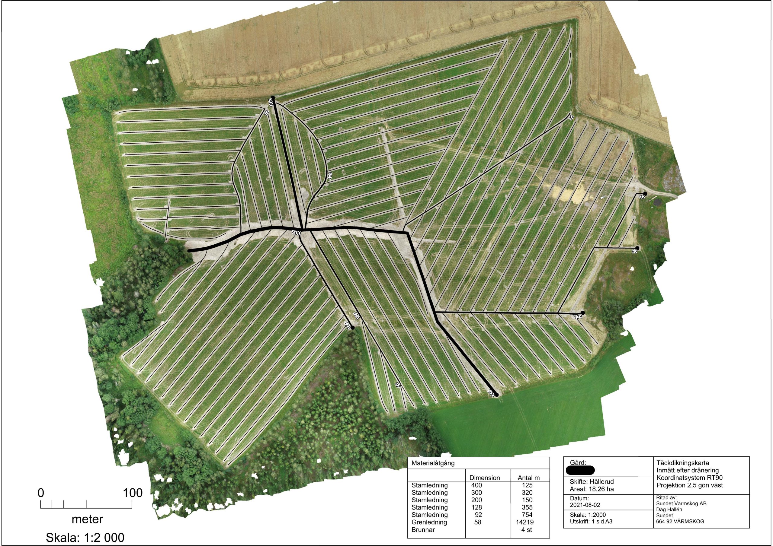
- Documentation after drainage
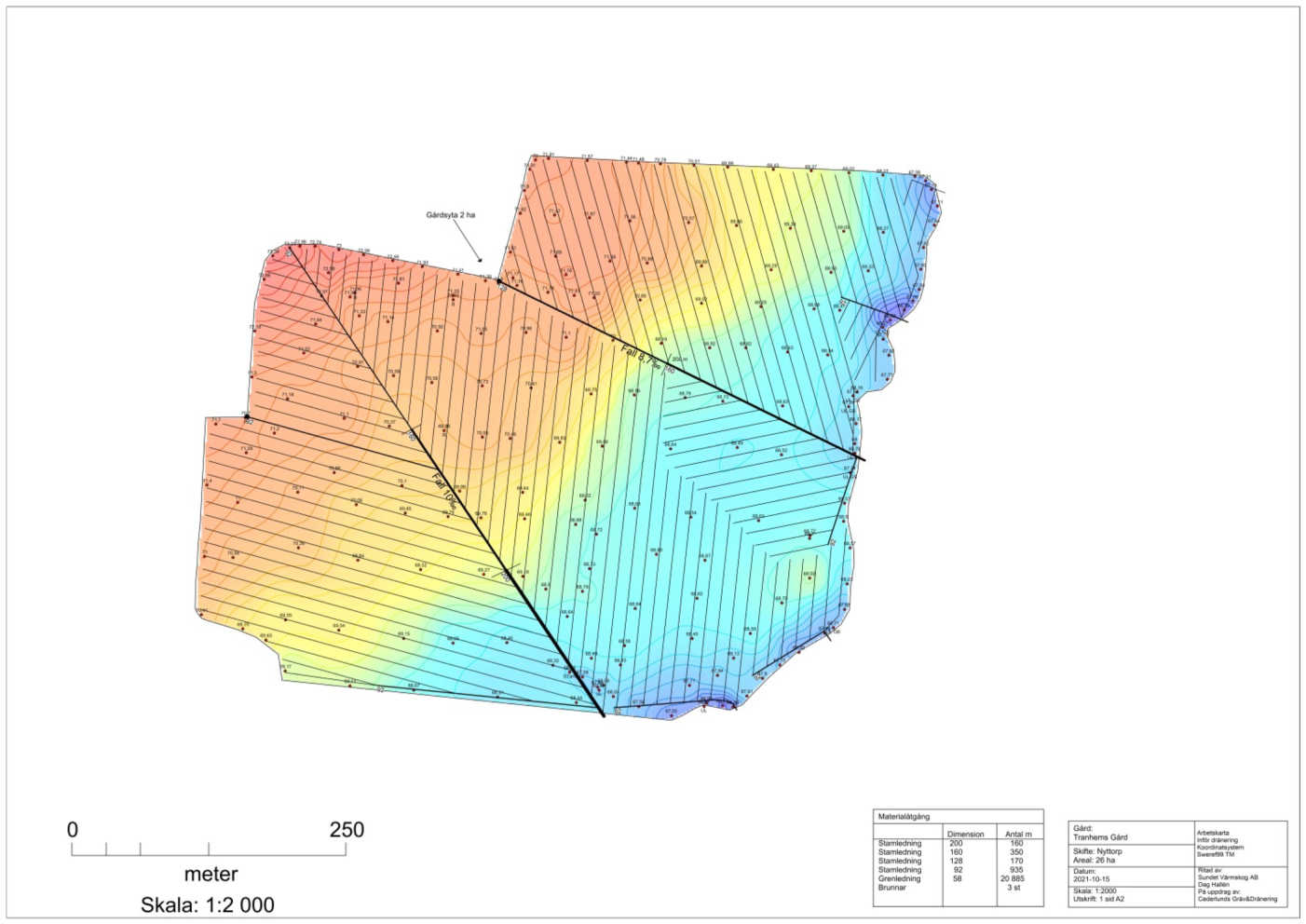
We make complete designs for drainage of agricultural land. This involves balancing in the field, dimensioning and drawing a map as well as quantity calculations. We can supply control files for the machine’s GPS control to cover ditch contractors.

Precision cultivation
- NIR analysis
- Control files
- Analysis of harvest maps
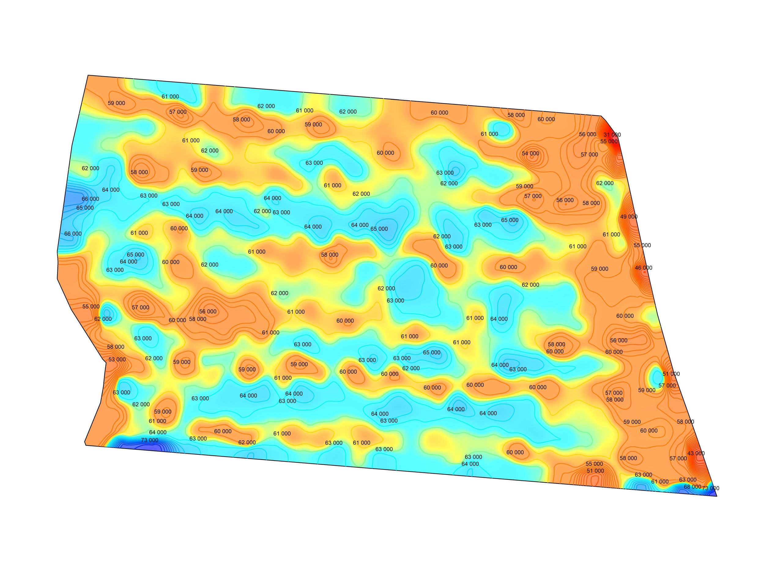
We also help to transform digital information into, for example, harvest maps for different crops. Here you see a map made after harvesting potatoes.
NIR analysis
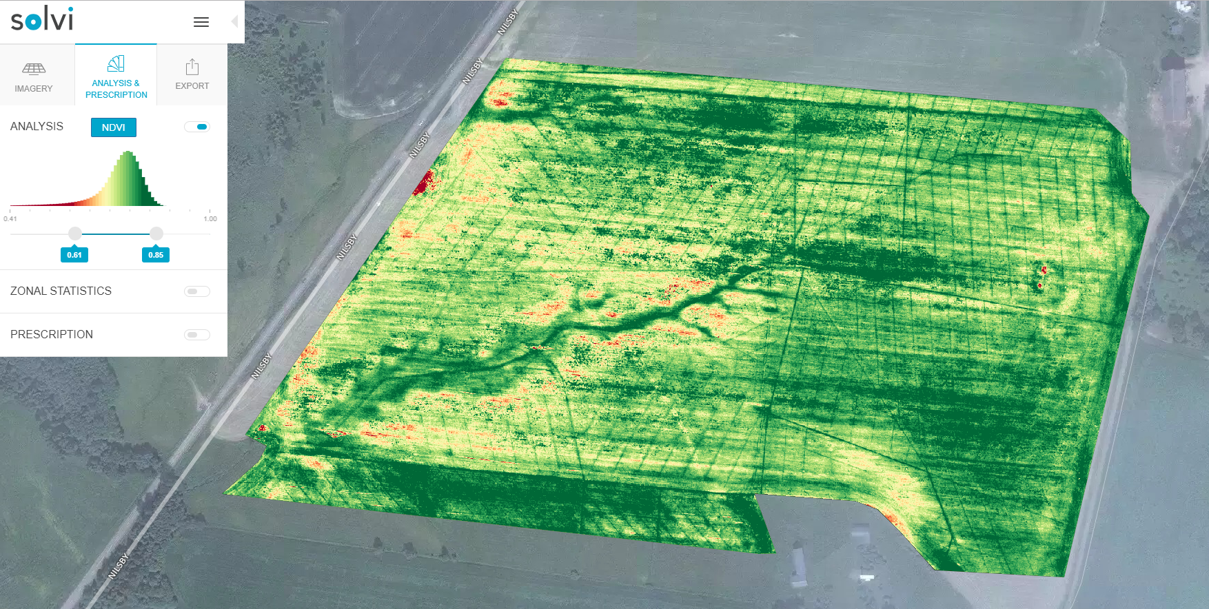
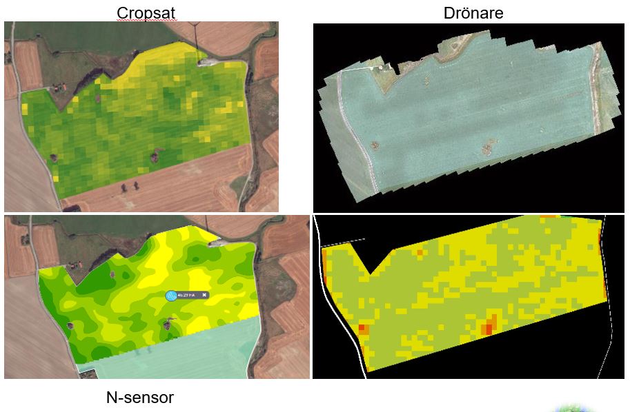
Our multispectral sensor on the drone can read Red Edge, Near Infrared Light (NIR) and Heat (IR) in addition to RGB. This means that you can get an analysis of how well photosynthesis works in the plants, which in turn can be controlled with nitrogen fertilization or other measures. An NIR analysis can be done before nitrogen fertilization in a cereal crop or on, for example, grassland during the autumn after harvest to find out what the field’s basic capacity looks like.

